
Field Intervention Management
An electrical or gas network comprises thousands of kilometres of lines, pipelines, and transformation substations dispersed across a territory. Each day, dozens of technicians depart for interventions: preventive maintenance, urgent repairs, anomaly readings, new works. Dispatching is often carried out by telephone, with paper schedules or shared Excel files that never reflect the reality on the ground.
Technicians waste time searching for equipment history, precisely locating a substation in a rural area, completing reports in the evening during their personal time. Coordinators juggle between emergencies, authorised competency constraints, and parts available in stock. And when an incident occurs on a high-voltage line or gas pipeline, every minute counts: for public safety as well as contractual penalties.
HSE obligations add a layer of complexity: work permits, isolations, mandatory verifications. All of this with ageing teams, difficult recruitment, and constant pressure on operating costs.
This solution belongs to the Business Operations & ERP family.
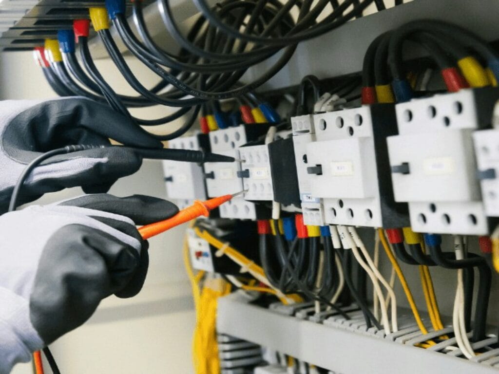
Challenges holding back your performance
Excel and office tools quickly reach their limits when it comes to cross-referencing technician availability, intervention locations, regulatory qualifications and parts in stock. The general-purpose CMMS solutions on the market are designed for manufacturing industry, not for mobile teams operating across a linear network spanning several hundred kilometres.Result: planners spend their mornings on the telephone, technicians make unnecessary round trips because a part or information is missing, intervention reports are re-entered three times. Field data does not flow back quickly enough to feed regulatory indicators. And when a generalist provider offers a mobile application, it crashes as soon as the technician loses network coverage in a dead zone: which happens daily.
Our Technical Approach
Our approach starts from the field, not from a theoretical specification. We begin by mapping actual workflows: how work orders are generated, circulated, and transformed.
Subsequently, we model a dispatching engine that integrates real constraints: not just distance, but electrical or gas authorisations, vehicle loads, access windows to installations, ongoing isolations. The technician application is designed to function in degraded mode: all critical data is synchronised before departure, field entries are made offline and uploaded as soon as the network returns.
HSE workflows are natively integrated: it is impossible to close an intervention on a high voltage installation without having validated the safety steps. The network reference system (GIS) becomes the backbone: each intervention is linked to a section, substation, or identified equipment. Material consumption directly feeds stock management to anticipate replenishment.
Geolocated Dispatching
Intelligent allocation of work orders based on technician location and skills.
Resilient Technician App
Operation 100% offline essential in areas with no coverage or basements.
Health, Safety and Environment (HSE) Workflows
Obligation to validate safety forms (isolation) prior to commencing the task.
Digital Reports
Guided intervention entry, with capture of geodated photographs and client signature.
Network Reference System (GIS)
Integration of network mapping (pipes, cables) directly onto the tablet.
Material Consumption
Instantaneous declaration of cable metres or components used for accurate billing.
Technical Architecture
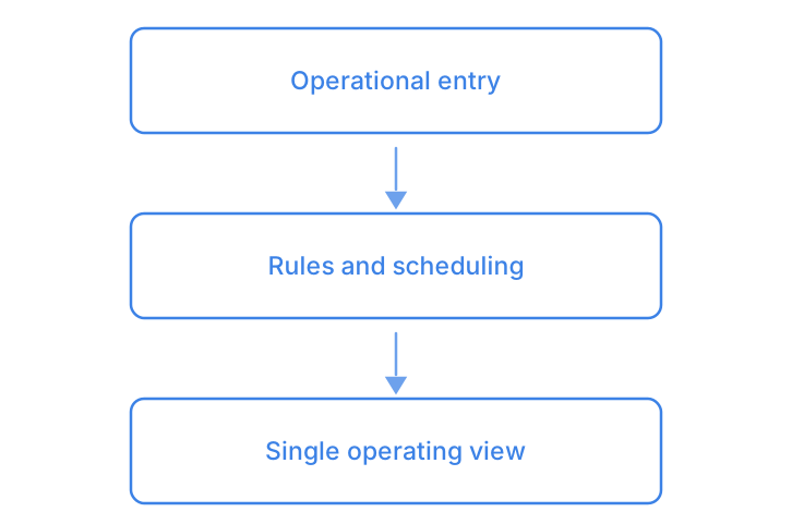
Enter once, let the rules schedule, read a single view: this foundation is shared across the family — you will find it in Order Management System (OMS) and in Workshop & After-Sales Management.
- Geolocated DispatchingIntelligent allocation of work orders based on technician location and skills.
- Resilient Technician AppOperation 100% offline essential in areas with no coverage or basements.
- Health, Safety and Environment (HSE) WorkflowsObligation to validate safety forms (isolation) prior to commencing the task.
- Digital ReportsGuided intervention entry, with capture of geodated photographs and client signature.
- Network Reference System (GIS)Integration of network mapping (pipes, cables) directly onto the tablet.
- Material ConsumptionInstantaneous declaration of cable metres or components used for accurate billing.
Smooth and frictionless integration
No one discards their existing CMMS or GIS for our sake. We interface with what exists: your ERP PM, Maximo, GE Smallworld, ESRI, legacy specialist tools. Connectors are developed to synchronise repositories without duplicate data entry. Deployment is carried out by geographical area or by type of activity, not as a big bang approach.
Teams retain their benchmarks during the transition period, and we measure actual gains before extending.
Field immersion
One week with your planners and technicians to understand the actual workflows, daily pain points, and constraints that no one has documented.
Modelling and mock-up
Design of dispatching rules, HSE workflows and technician screens. Validation on real-world cases with your teams prior to any development.
Development and integration
Iterative development with deliveries every 2 weeks. Connectors to your existing GIS and CMMS. Testing under real conditions in the field.
Driver and scaling up
Deployment on a pilot team, measurement of gains, adjustments. Progressive extension to other geographical sectors or activities.
Measurable results for your organisation
- 25 to 35% reduction in daily planning time for coordinators
- 40% reduction in interventions requiring a second visit (missing part, incomplete information)
- Intervention reports available on the same day rather than D+3 to D+5
- HSE compliance documented and auditable for 100% of sensitive interventions
- Average saving of 45 minutes per technician per day on administrative tasks
- Field application availability rate exceeding 99% even in areas with poor connectivity
Clarifying your decision-making
How does the application function when my technicians have no network coverage?
The application synchronises all route data before departure. The technician works offline, entries are timestamped and upload as soon as a connection returns. Clarendis has tested it in real conditions in alpine valleys and rural areas without coverage.
What is the realistic deployment time for a team of 50 technicians?
Allow 3 to 4 months between scoping and go-live on an initial scope, based on our deployments. The longest phase is not development but migration of network repository data and training of planners. A solid pilot with ten to fifteen technicians precedes wider rollout.